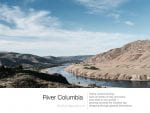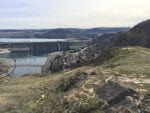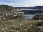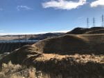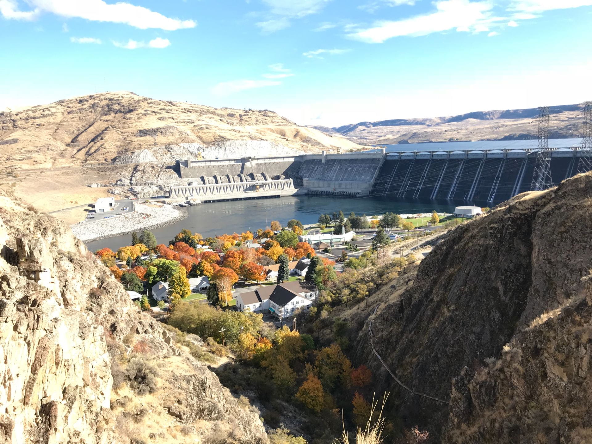
View of Coulee Dam from Candy Point Trail
Today’s WriteOut prompt is “Which building or site in your neighborhood would you preserve for the future and why?”
The view in the image is from an old trail called “Candy Point Trail,” which was built by the Civilian Conservation Corps in 1937 and updated by the Grand Coulee Area Rotary Club in 1991. It was spruced up again by the Washington Trails Association in 2017.
In 1946, a plan was developed for an exhibition hall in nearby Crown Point Vista. Imagine an exhibition hall on the vista above the town! Back then, people had vision. Since the trail links to this, the Candy Point Trail and the Vista could become a great asset to our community. We could create a new vision for our community.
Because of its history that coordinates with that of the Grand Coulee Dam, I believe this site should be maintained. In these days where exercise is so important, and places to visit in communities are needed, this old trail should be maintained and preserved to remind us of the ingenuity and progress that we humans promote.
For example, the Civilian Conservation Corps that created this trail, was part of the New Deal during the Great Depression to put men back to work. My father was part of this program which helped feed his large family back home in North Dakota. Although he was not part of this project, I am reminded of the program and help it provided every time I find one of their works. During our hard times and our need for updated infrastructure, perhaps we as a society might want to consider another such program. And, in some future years from now, both this site and the new ones created will remind us that we can find solutions to our problems by working together.
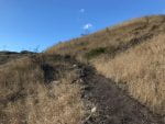
The 1.5 mile loop starts behind City Hall in West Coulee Dam, up about 700 feet of the Fiddle Creek coulee and over the top of the plateau with a side path to Crown Point Vista and back down another ravine to the north end of West Coulee Dam.

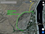
An approximate path of the trail in green with side path to Crown Point Vista [Google Maps]
Who knows, perhaps the National Park Service could step in and give us hand in keeping the trail clear and usable.
Sources of Information:
- The Star Newspaper: Volunteers restore rock work along Candy Point Trail
- Okanogan Country: Candy Point Trail (Coulee Dam Area)
- Grant County on Facebook: Candy Point Trail
- The Star Newspaper: Geology of Candy Point Trail Explained on Hike
- TopoZone map
- All Trails: Crown Point Vista
- Bert Smith of Them Dam Writers in the Star Newspaper: Crown Point Vista, a forgotten dream
- Star Newspaper Visitor Guide: Grand Coulee Dam Facts
- National Park Service: Civilian Conservation Corps
Let’s save the Candy Point Trail!
And thanks to the National Park Service and National Writing Project for the inspirational prompt to write this through their October Write Out program.
My Gallery: